Tel Aviv's Digital Map Connects Nature and Navigation: Planning a City Walk
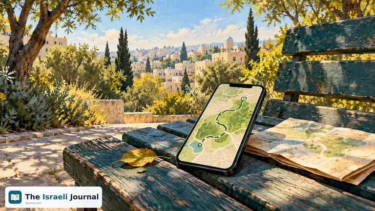
A new digital walking map called "The Story of Tel Aviv" brings together the city's nature and heritage routes and links to Waze and Google Maps. Tel Aviv Online and the Rashuiot portal reported it in October. For anyone seeking a short walk near home or a family outing, the innovation connects information about places with how to reach them.
According to reports, the map includes parks, gardens, seasonal pools and urban habitats. It was presented as part of autumn urban‑nature events. There is no need to choose a long route immediately: use the place list to identify something interesting in a convenient area, then separately check visiting conditions and the return journey.
Start with the walk's purpose, then open navigation
A map connecting several sites can expand an ordinary park visit, but the first question remains personal: how long do you want to spend outside? Decide whether you want continuous walking, a stop with children or a visit to one place. That narrows the options before navigation begins.
Rashuiot's report on the initiative says the platform connects route information with navigation apps. This helps people who know a garden's name but not which arrival point to choose. Still, read the route description rather than relying on a map symbol: reaching a destination and following a walking route are different tasks.
Save the place name and meeting point beforehand. With family or friends, a simple instruction such as "meet at the selected entrance" is better than assuming everyone will reach the same corner of a large park. This small preparation can prevent searching phone calls at the start.
From the north of the city to the south, beyond names alone
According to Tel Aviv Online's 8 October overview, the map includes Glilot and the Dresner seasonal pool, northern beaches, Ganei Yehoshua and nature sites in the south. The variety lets you start with an area convenient to reach rather than the route that looks most impressive in a photograph.
Anyone preferring an urban setting can explore combining gardens and boulevards with city errands. Those wanting a break from streets can review parks and streams. These are ways to choose a walk's character, not a guarantee that every route suits every age, weather condition or mobility aid.
The 11 October route overview also included options in eastern Tel Aviv and Jaffa. There is no need to visit them all in one day. Choose one area and leave time for stops instead of turning a map of options into a task list. Digital information then serves the participants, rather than making the outing chase one more pin on a screen.
What to check beyond the map line
Before leaving, find out whether the site will be open at the desired time and whether entry conditions or registration apply. Appearing on a route does not answer those questions. This matters particularly when combining a walk with a guided activity, course or workshop rather than independently visiting public space.
According to Tel Aviv Online, October events include tours and other activities, some offering benefits to DigiTel cardholders. Check the particular activity before relying on a price or eligibility. Using the map to plan a walk and reserving an event place each require the appropriate information.
Participants' needs also belong in the plan. For a stroller, walking difficulty or frequent rest stops, request specific information about path surfaces, entrances and opportunities to shorten the route. A route described as family‑friendly does not automatically meet every need of your family.
Before everyone gets in the car or leaves home, send the names of the chosen stops. Agree that the route can be shortened and ask whether anyone has an overlooked need. Coordination helps choose one route that suits the group rather than discovering on site that everyone had a different plan.
Plan the route's end too
Decide how to return before walking. Choose an out‑and‑back route, check whether the trail ends near its start or plan transport back. Without that decision, even an outing that looks short on screen may end with an unexpected logistical task.
Check transport for the expected finishing time and allow room for a stop or change of plan. Drivers can record where they parked; public transport users can save the return stop. The map helps select the walk, but choosing the way home remains part of personal planning.
Prepare a short alternative too. If someone tires, the place is crowded or you decide to linger, you can finish there. Flexible planning does not require knowing every detail beforehand. It simply lets information support choices rather than create an obligation to complete the entire line.
A new service, with details to check for each visit
The launch was reported during October, but publications gave no single start date. Rashuiot described a platform launching that month, while Tel Aviv Online already described it as launched on 8 October. Visitors should focus on current information about their intended destination.
The initiative can offer a convenient starting point for discovering the city without joining an organized event. Choose an area, read about the stops, check visiting conditions and decide how much of the route suits that day. The desired result is an outing easy to plan and adapt, with a screen that supports walking and leaves room to notice the surroundings.
Read also: Checking Buses and Light Rail Before a Tel Aviv Outing